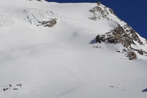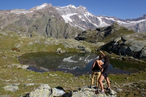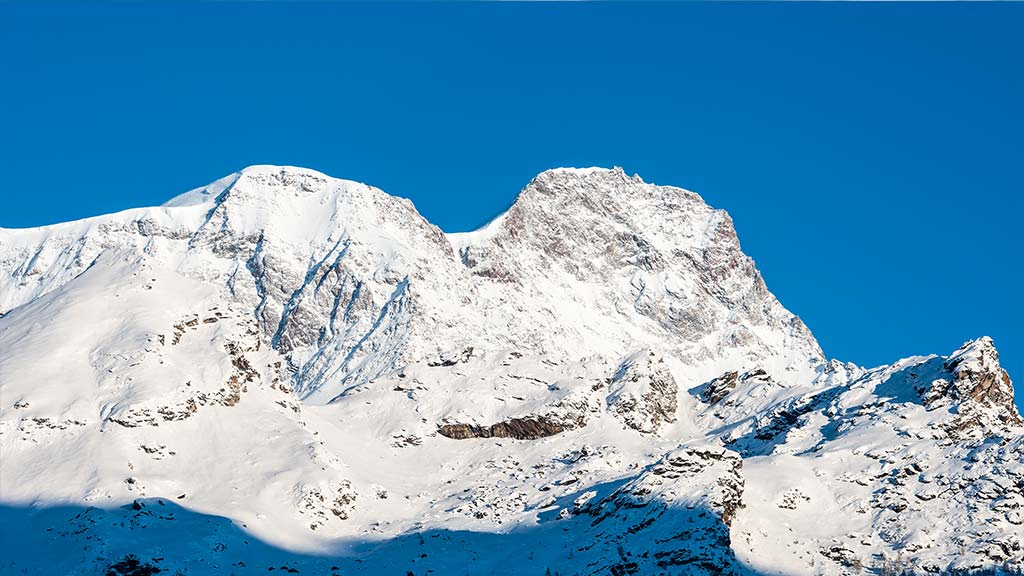

A record-setting mountain, further distinguished by the Margherita Hut, the highest refuge in all of Europe, and unparalleled for its eastern wall which is the tallest and steepest of all the alps having characteristics comparable to the Himalayan range and to the main summit, the Dufourspitze at 4634m.
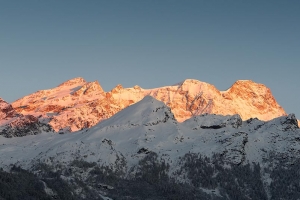
The Rosa is also a spectacular phenomenon, visible from almost all localities in the Valsesia, from the lower-lying areas to the extreme valley floor; one can catch breathtaking views of the mountain’s elegant and vast profile that when struck by the sun’s rays on a clear morning at dawn become aglow with suggestive pink hues – those hues that convince many of the mountain’s name even though it was derived from ancient Latin names for large glaciers.
Monte Rosa is the natural border separating Switzerland and Italy, and although its crown is formed by the valleys of the nearby Macugnaga, Gressoney, Ayas, Zermatt, and on the Swiss side, Mattretal and Saastal, its slope toward the Valsesia is its most spectacular and fascinating – from no other territory can this mountain be admired for its actual grandness and beauty.
Europe's most elevated refuge, the Margherita Hut, on the Signalkuppe (Punta Gnifetti in Italian) at 4559m a.s.l., owes its name to Margherita di Savoia, the queen of Italy, and to the success of her historic endeavour to courageously climb to those peaks on the 18th and 19th of August in 1893.
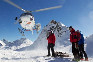
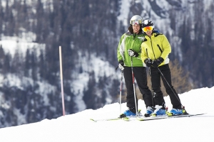
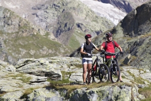
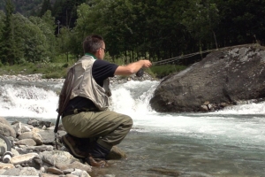
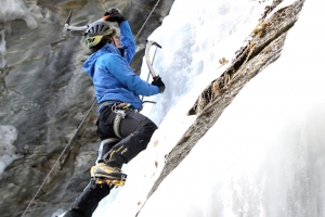
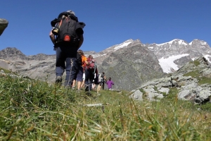
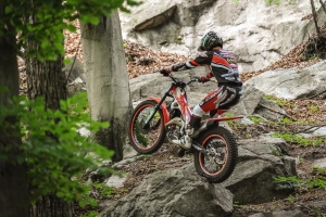
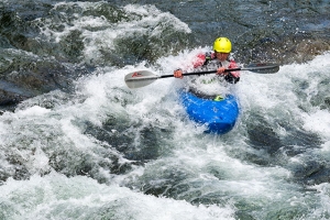
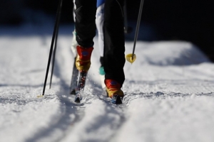
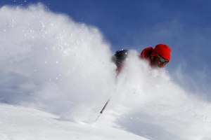
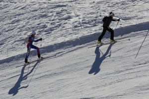
Currently, the refuge is managed by the Varallo Sesiachapter of the Italian Alpine Club and is a base for climbers as well as scientists. Monte Rosa has always been a target of primary significance for all mountaineering enthusiasts as it offers the chance to take on almost all sporting disciplines, winter as well as summer, from the most simple to the most challenging of alpine disciplines.
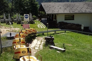
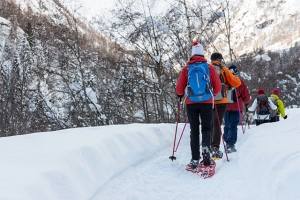
The Tour of the Monte Rosa is a new scenic itinerary that has been specifically created for this reason. With stops from refuge to refuge, it retraces all the characteristic stages of the journey inspired by ancient Walser routes, granting extraordinary unparalleled landscapes to admire. Anyone can attempt this new experience as there is a selection of routes to follow based on physical ability. Lift facilities or vehicles can also be made available.


Punta Dufour – 4.634 m
Punta Nordend – 4.609 m
Punta Zumstein – 4.563 m
Punta Gnifetti – 4.559 m
Lyskamm Orientale – 4.527 m
Lyskamm Occidentale – 4.481 m
Punta Parrot – 4.436 m
Ludwigshöhe – 4.342 m
Corno Nero – 4.322 m
Castore – 4.221 m
Piramide Vincent – 4.215 m
Breithorn Occidentale – 4.165 m
Breithorn Centrale – 4.160 m
Breithorn Orientale – 4.141 m
Breithornzwillinge – 4.106 m
Polluce – 4.091 m
Roccia Nera – 4.075 m
Punta Giordani – 4.046 m